Campground
Upper Pines Campground
Yosemite National Park, California
About this campground
Upper Pines sits at 4,000 feet in the eastern end of Yosemite Valley, near the Merced River and beneath the valley's granite walls. From camp, visitors can reach Curry Village, Happy Isles, and several trailheads on foot, by bicycle, or on the free Valley shuttle.
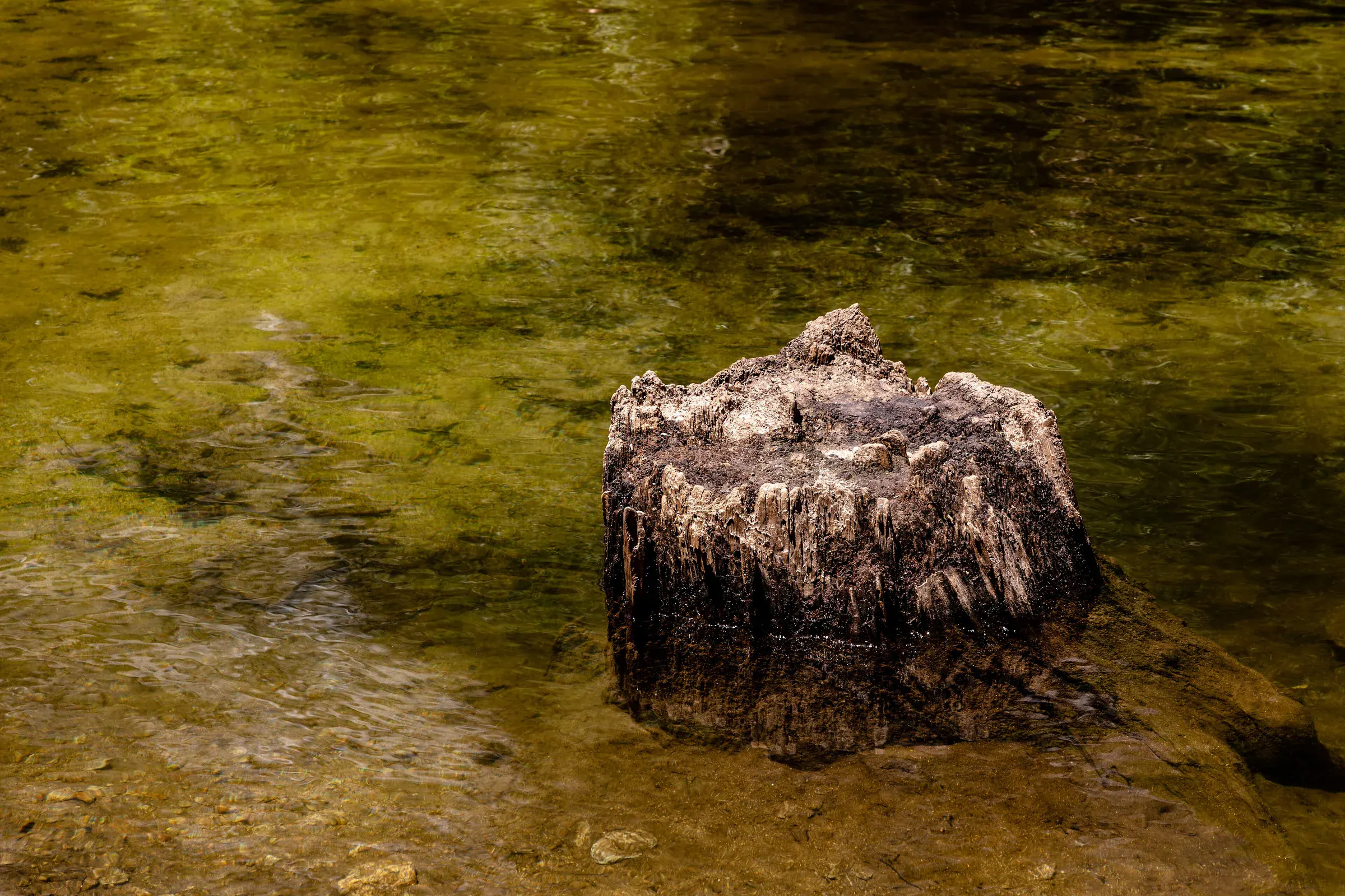
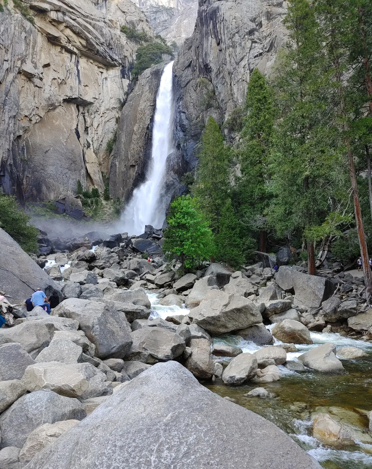
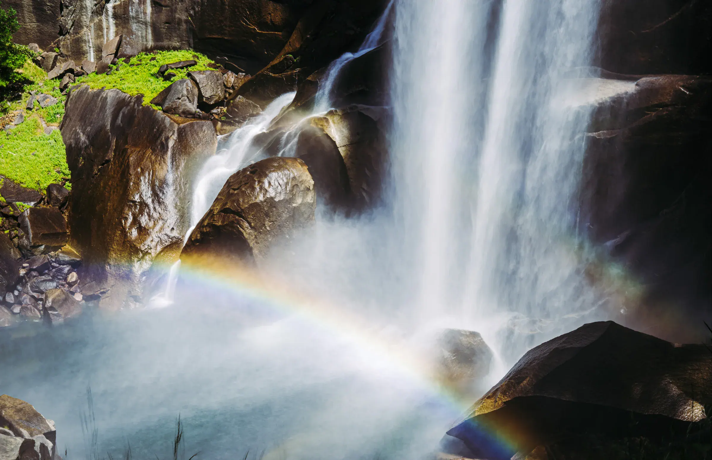
Vernal Fall, Mirror Lake, and Lower Yosemite Fall offer three different views of the valley's water and rock: a steep waterfall corridor, a seasonal lake beneath Half Dome, and an accessible path to the base of Yosemite Falls. The campground remains the fixed base while those outings are added only when they fit the trip.
Map
Loading map
- Latitude
- 37.739000° N
- Longitude
- 119.565000° W
Build the days
Nearby destinations
Add only the places that belong in your itinerary.